Beach Roundup: From Florence to Yachats
Oregon Coast Highway 101 between Florence and Yachats is a lovely drive along the central Oregon coast. Motorcyclists love the twisty road, Pacific Coast Bike Route cyclists have gotten their stride at this point, visitors are dashing from one attraction to the next, and everyone is looking for views, views, views.
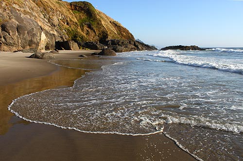
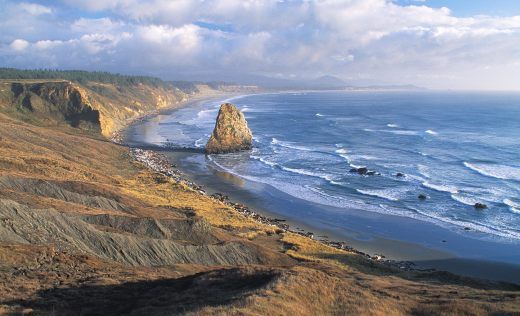
While scenery encompassing ocean, lighthouse, sea mammals, water birds, bridges, cliffs, and chasms is plentiful, finding a beach easy to reach for walking along the 13-mile stretch from the Sea Lion Caves to Cape Perpetua Scenic Area is a challenge. A steep path, a broad swath of rocks, cliffs, basalt instead of sand, or some combination of these obstacles are found at most stops in this vicinity. For some this is merely a mild deterrent; for many of us this terrain is unnegotiable.
To help you locate a beach in this region that fits your abilities, energy level, or time schedule, I’ve compiled a summary. You’ll see turnoffs for each of these places (listed south to north) along Highway 101. Links are provided for places described in more detail on other pages of 100 Steps.
It’s possible that none of the beaches in this area is a good choice for you. If that is the case, enjoy the views, and leave your beach stroll for a different section of Oregon coastline.
Milepost 179
N/AOn a cliff, no beach
Sea lions in cave and surrounding waters
Milepost 178
100 Steps
Flat, but a wide swath of rocks before reaching sand
View of lighthouse and Cape Creek Bridge
Milepost 176
225 Steps
Gradual descent and three stairs reaches miles of rolling sand
No band of rocks to cross
Milepost 175
75 Steps
Wide band of stones and driftwood before reaching sand
Long beach; merges with Carl G. Washburne
Milepost 173
150 Steps
A broad band of rocks rests at the foot of a 25-step stairway
Tall hill at south end can block wind
Milepost 171
200 Steps
Can drive onto the beach when the road is open
View of Tenmile Creek Bridge
Milepost 170
N/ALots of rocks, little sand
Popular for geocaching and mussels
Milepost 169
100 Steps
A gravel path and over 20 stairs reaches craggy rocks
Great for tide pools
Milepost 168
75 Steps
Stairs and a rock bed must be crossed to reach stone-scattered sand
View of Cummins Creek Bridge
Milepost 166
1 mile loop
Steep path with switchbacks leads to basalt rather than sand
Water-carved cleft causes churning sea

