Samuel H. Boardman Arch Rock Viewpoint
I find it curious that some offshore rock formations are given titles. Though Samuel H. Boardman State Scenic Corridor has many prominent sea-encircled boulders, a contributing factor to its reputation as especially splendid amongst an abundance of scenic Oregon coast destinations, the area map shows only a few with names. House Rock, Thunder Rock, Arch Rock, Whaleshead Rock. What makes these more deserving of an appellation than other nearby counterparts?
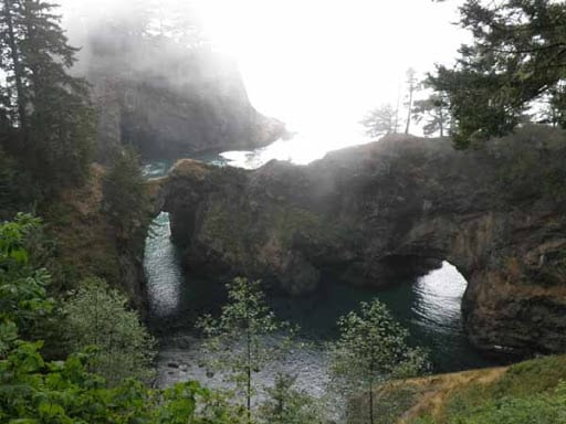
Whatever the reason, there is an ocean-carved archway at the end of a point in Samuel H. Boardman State Scenic Corridor with the moniker Arch Rock. Arch Rock Viewpoint is the chief stop along a loop trail encompassing a diverse slice of the scenery in coastal southern Oregon: ocean vistas, plunging cliffs, multifarious sea stacks, and plentiful forest and greenery. Named or not, these shapely rocks certainly enhance the view.
South view
25 Steps
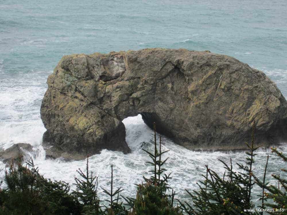
Step out of your car and walk only a few steps to see waves roll against a half dozen large and several small ocean-bound rocks. If I told you some were called Shark Fin Rock, Rectangle Rock, and Treed Crescent Islet, I bet you could identify each. (They’re not. I made those up. ) During our early Spring visit, the rainy season, water cascaded down the neighboring dark cliff in a slender trickling waterfall.
Picnic area
200 Steps
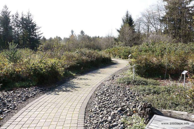
Head down the broad straight path, past the restrooms, and through the forest to one of several picnic tables amongst the trees. The step count above reaches the first table, another 200 steps reaches the last. You may want to stop at the final table, which is near a small sign labeled Arch Rock Viewpoint, before the ascent to the viewpoint.
West bench
150 Steps
The terrain deteriorates somewhat after the last picnic table. You will negotiate some pavement edges and dirt during the climb to reach a west-facing bench at the end of the point. It’s worth the effort. Even seated, you have a direct line of sight to the arch.
North bench
50 Steps
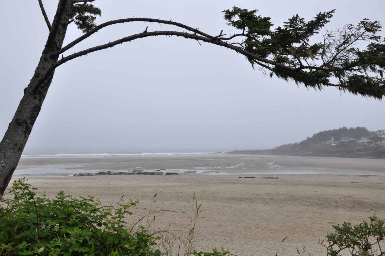
If you’d like to check out the coastline to the north, you can proceed a bit farther to another bench. In the distance, the land juts into an ocean sprinkled with irregular rocks. Closer, waves begin to break at the mouth of a bay to the east of the point on which you are walking.
Forest return
200+ Steps
After enjoying one or both view benches, you have a choice for the return journey. Backtracking is longer, but has the advantage of seating available in the picnic area. Alternatively, you can complete the loop. This affords you a nice bay view at the price of no sitting until you’re back at the parking lot in over 400 steps. Both routes are up hill, getting gradually steeper as you approach the lot. I completed the loop, but was literally dragging by the time I reached the car. If I were to do it again, I’d retrace my steps after enjoying the north bench view, so I could rest along the way. Walking the loop in reverse may be an even better option. The longest span would then occur at the start of the trek, before tiring, and would be downhill rather than up.
| Terrain: Mostly paved, with sections of root-raised, cracked, or uneven pavement. Numerous spruce cones on the path can be a foot rolling hazard. The north side of the loop has sections of dirt or mud. Moderate to fairly steep downhill slope to reach the point, uphill on the return. |
| Seating: Picnic tables and benches, as described above. |
| Fee: No fee |
| Restrooms: Yes, about 100 steps from nearest parking down wide paved path with moderate decline. |
| Directions: North of Brookings on Highway 101, Arch Rock Viewpoint is the most northern viewpoint in Samuel H. Boardman State Scenic Corridor. The turn to the parking lot is clearly marked with a State Park sign. The trail is visible from the parking lot. |

